
Maps, Prints, and Paintings
Home > Maps, Prints, and Paintings

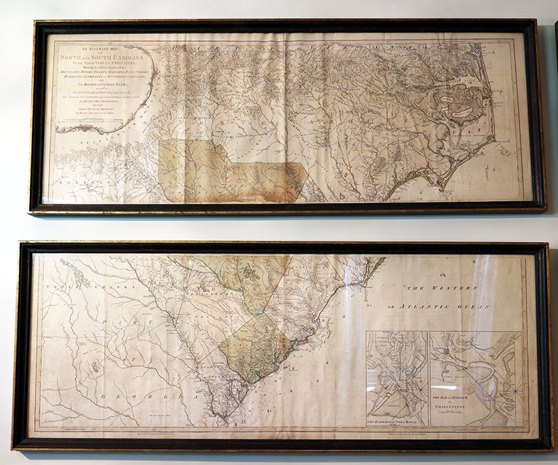
An Accurate Map of North and South Carolina with their Indian Frontiers, Shewing in a distinct manner all the Mountains, Rivers, Swamps, Marshes, Bays, Creeks, Harbours, Sandbanks and Soundings on the Coasts, with The Roads and Indian Paths; as well as the Boundary or Provincial Lines, The Several Townships and other divisions of the Land in Both the Provinces, the whole from Actual Surveys by Henry Mouzon and others
Printed in London, Used in South Carolina
Richard Hampton Jenrette Foundation
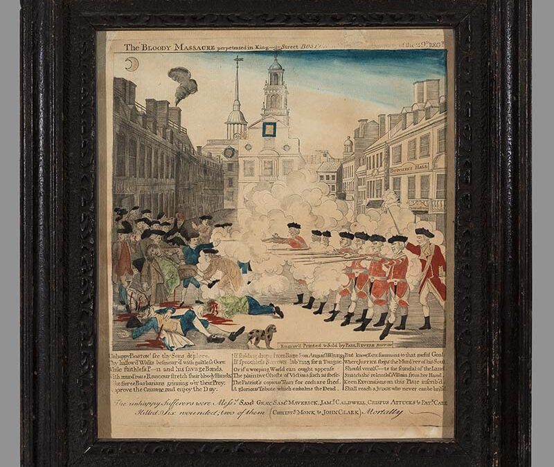
The BLOODY MASSACRE perpetrated in King–I–Street BOSTON on March 5\th 1770 by a party of the 29\th REG\T
Boston, Massachusetts
Winterthur Museum, Garden & Library
Philadelphia, Pennsylvania
Richard Hampton Jenrette Foundation
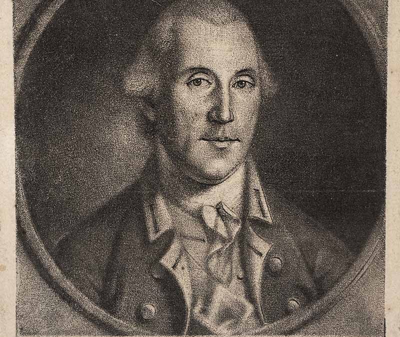
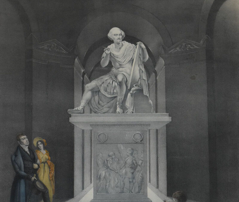
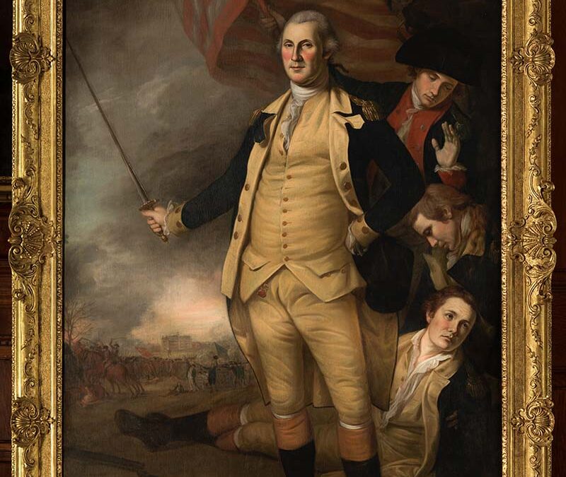
His Excellency Gen Washington
Philadelphia, PA
The Society of the Cincinnati

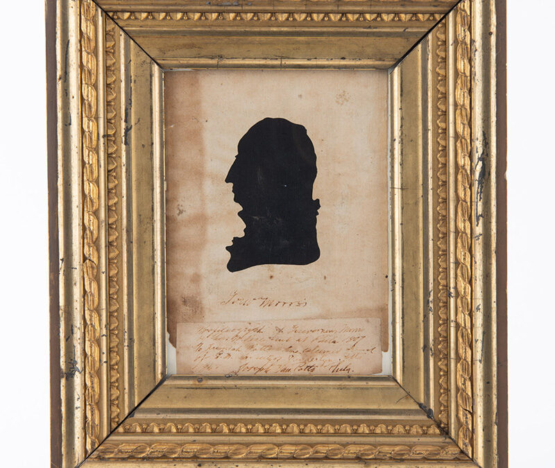
Silhouette of Gouverneur Morris
Philadelphia, PA
The Preservation Society of Newport County
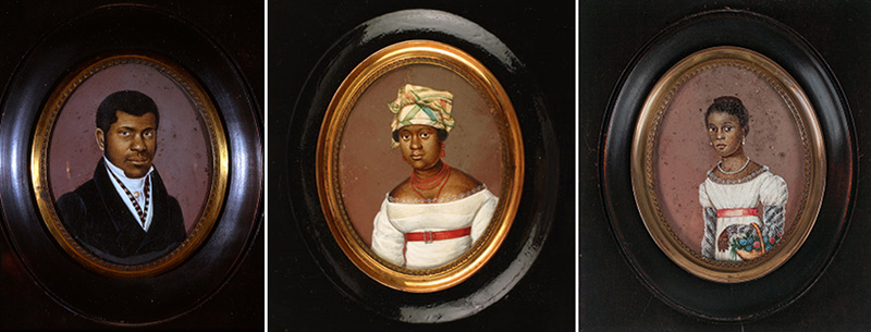
Toussaint Family Miniatures
New York, NY
The New York Historical
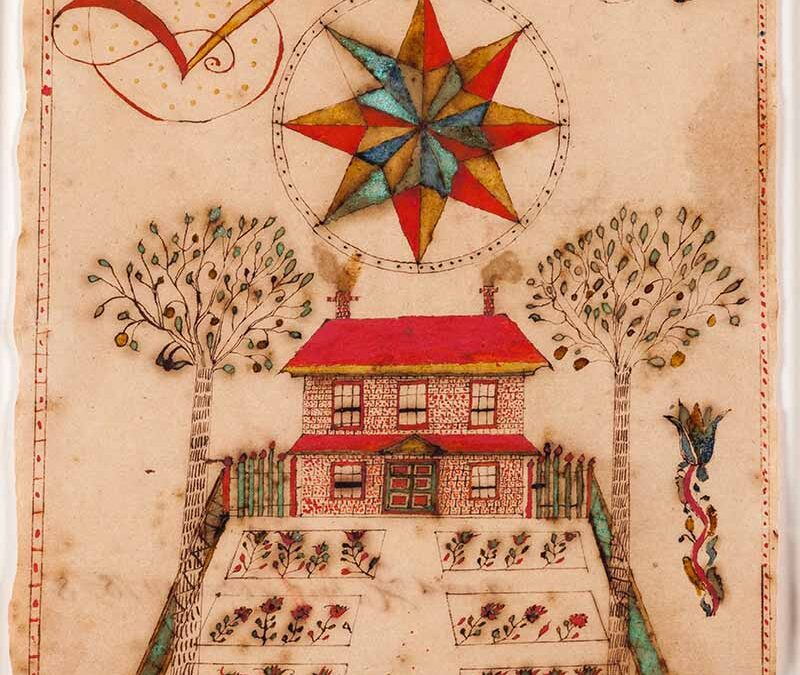
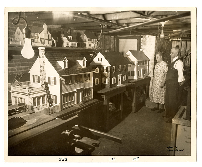
House with Six-Bed Garden
Worcester Township, Montgomery County, PA
Schwenkfelder Library & Heritage Center
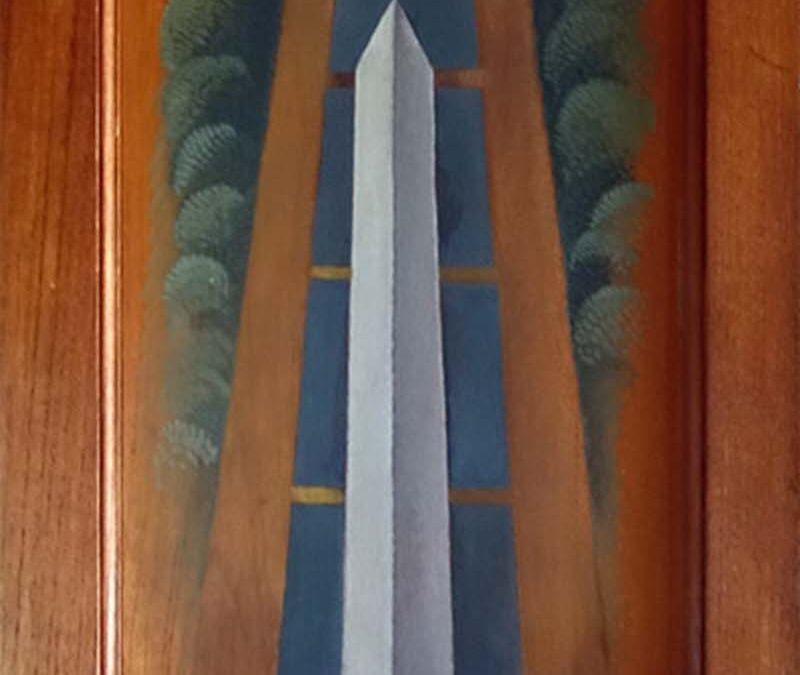
Washington, D.C.
DC History Center
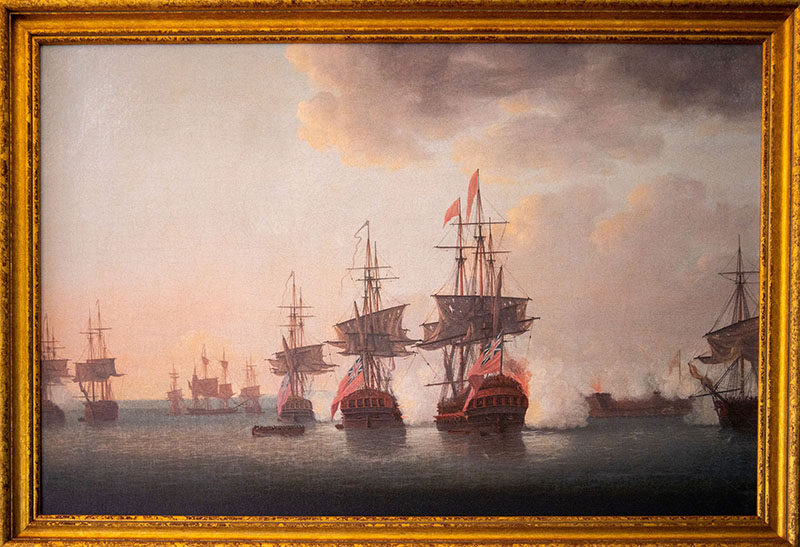
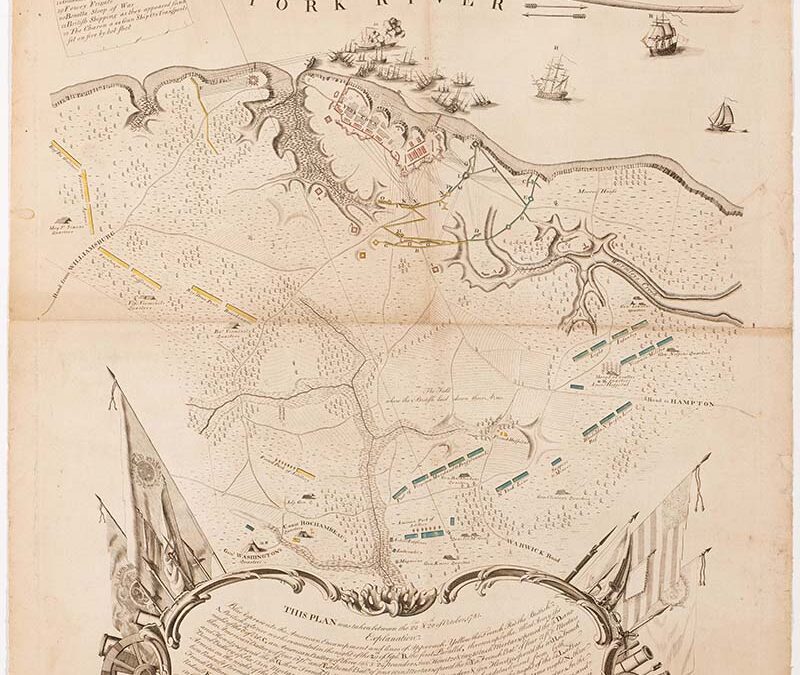
Attack of Fort Moultrie
Made in England; Depicts Charleston, SC
Historic Charleston Foundation
Washington, D.C.
Baltimore, MD
Evergreen House Foundation
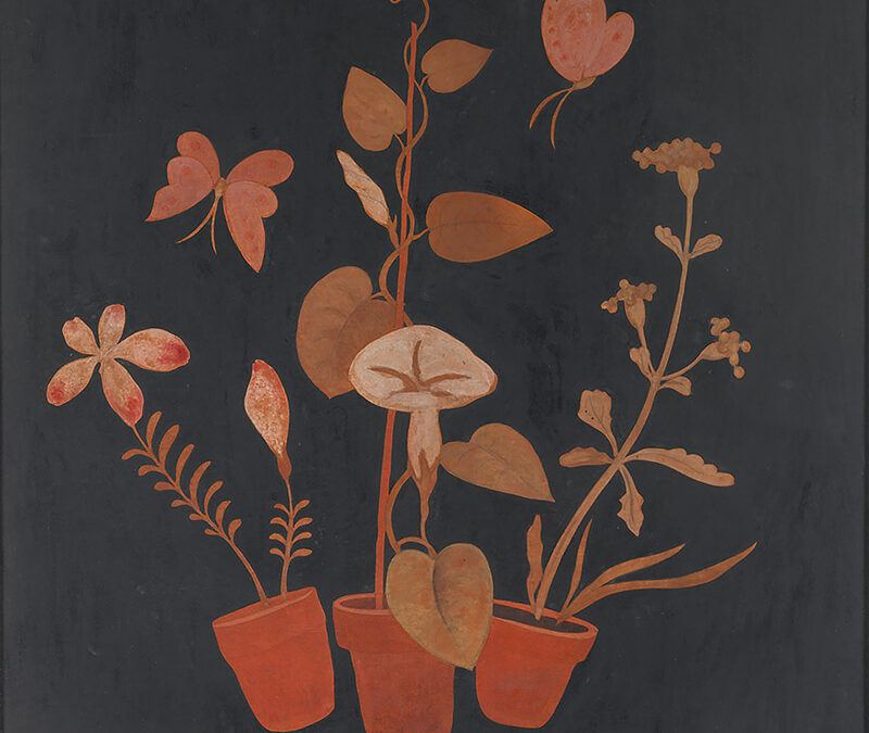
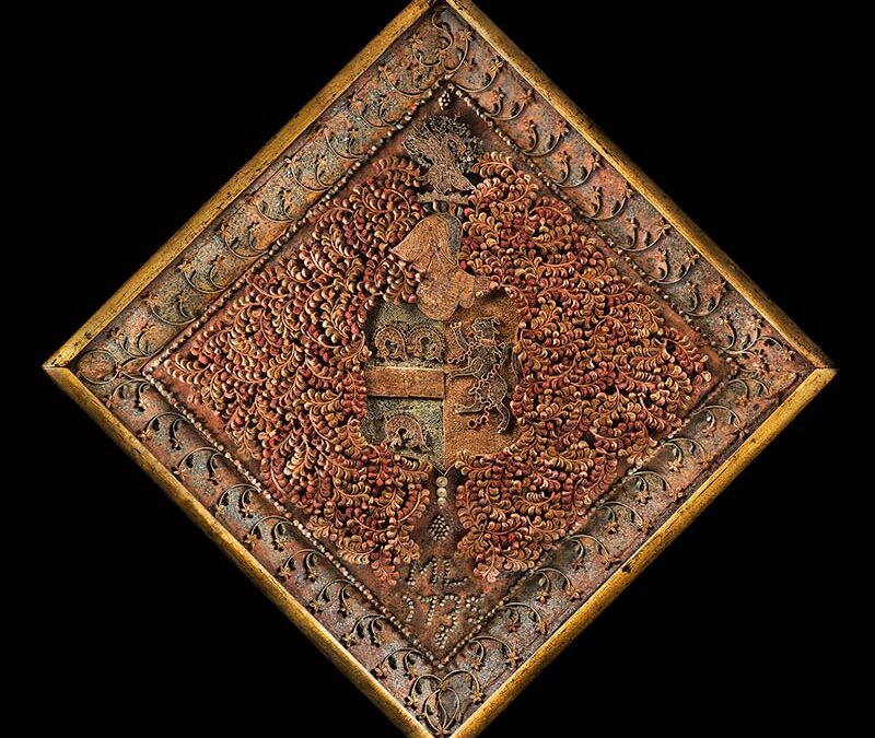
Still Life for a Fire Screen
Lancaster, PA
Demuth Foundation

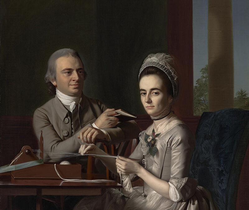
Portrait of William Duguid
Boston, Massachusetts
Metropolitan Museum of Art
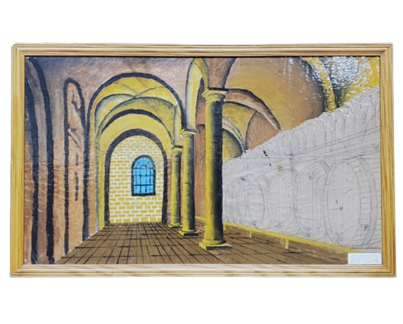
Fort Missoula Alien Detention Center, Missoula, Montana
Historical Museum at Fort Missoula
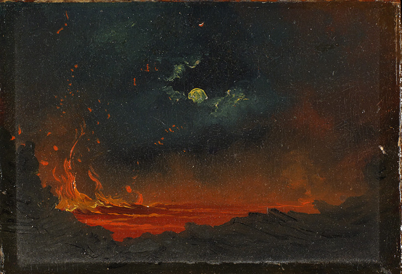
𝘒𝘪̄𝘭𝘢𝘶𝘦𝘢 𝘣𝘺 𝘔𝘰𝘰𝘯𝘭𝘪𝘨𝘩𝘵
Kīlauea, Hawaii
Hood Museum of Art, Dartmouth College